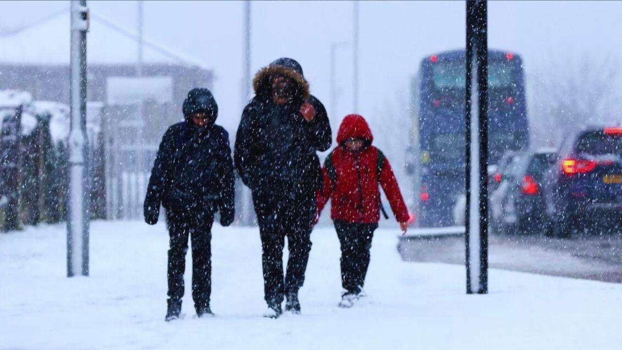
As temperatures drop nationwide, all but two regions of the United Kingdom are experiencing several days of ice, snow, and rain.
The gloomy days of November have arrived, and as the dark nights deepen, the bright lights of Christmas are still just barely visible in the distance. Storm Bert's arrival in the UK this weekend will give the unwanted image a chilly edge.
The Met Office named the fearsome front on Thursday, issuing an amber weather warning in one part of the country and yellow warnings in all but two. At its worst, Storm Bert will bring heavy rain and snow, together with strong winds, to large swathes of the country.
The centre of the impact will be in Scotland, where an area between Perth, Aberdeen and Inverness will be at risk of power cuts and disruptive snowfall. Travel delays on the roads are likely, stranding some vehicles and passengers, while mobile phone connection may cut out for some.
Those on the roads and bicycle paths have been warned to be wary of icy patches, while delays on the rails and at airports are likely. Up to 20cm of snow is forecast to fall in areas up to 200m above sea level, and around 40cm is predicted for those higher in the hills.
While the centre of Scotland will bear the brunt of the inclement weather, most of the rest of the UK is in for a cold and icy few days - with a fair blanketing of snow across many areas. Thermometers are unlikely to rise above two or three degrees centigrade on Friday.
The only parts of the country without a yellow or amber weather warning in place from Friday morning until Sunday are the South East and East of England. Snow and ice risks there are lower, but neither area is expected to end the week without enduring a fair helping of wind and rain.
The one silver lining in terms of milder weather is the temperature, which is predicted to rise significantly on Saturday and Sunday to above 10C in most parts of the UK. The mercury may even hit 14C in London and the South East on Sunday.
Met Office deputy chief meteorologist Dan Holley said: “Storm Bert marks a shift to much milder air and wintry hazards will gradually diminish through the weekend, but heavy snowfall is expected across parts of northern England and Scotland for a time on Saturday, especially over higher ground, and warnings are in place.”
“Heavy rain through Saturday and Sunday, especially in southern and western parts of the UK, will also bring impacts for some with a number of warnings in place. We expect 50-75 mm of rainfall quite widely within the warning areas, but in excess of 100 mm is possible over high ground in parts of Wales and southwest England.”
“In addition, rapid melting of lying snow over the weekend and periods of strong winds are likely to exacerbate impacts and bring the potential for travel disruption, as well as flooding for some.”


.svg)


