


.svg)
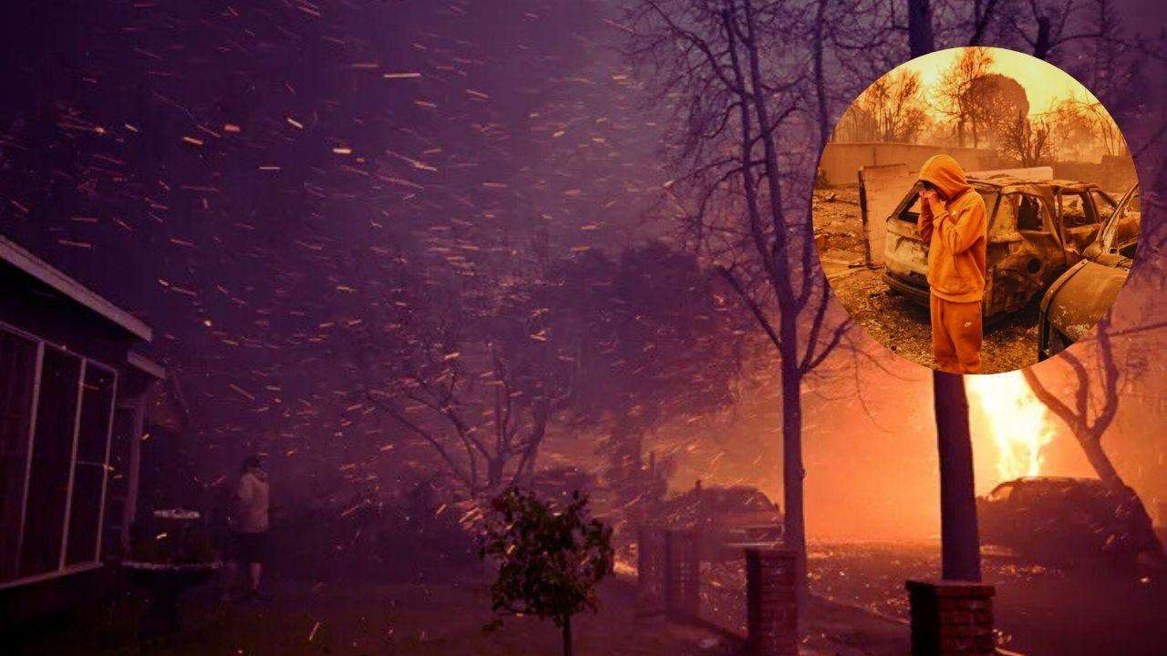
Due to a combination of strong Santa Anna winds and parched vegetation, several wildfires tore through Southern California on Wednesday, burning homes and forcing people to escape.
Near the shore in Pacific Palisades, west of downtown Los Angeles, a fire has burned almost 3,000 acres. Another erupted in Eaton Canyon, in the San Gabriel Mountains, 28 miles inland, above Altadena. Additionally, a smaller fire burned across around 500 acres in the San Fernando Valley community of Sylmar.
The causes of all three fires are currently under investigation, according to Cal Fire. The National Weather Service issued its highest alert for extreme fire conditions in the region before the fires ignited.

All three areas impacted by the fires have one thing in common: they sit at the edges of mountain regions which climate experts suggest may be more prone to fires than other parts of Los Angeles County.
Santa Ana Winds
The powerful Santa Ana winds that push dry air from inland areas toward the coast are among the most critical forces fueling the wildfires. As high-pressure systems move east to west over the Santa Ana Mountain range, wind is forced down where it’s compressed and warms up.
Janice Coen, a project scientist at the National Center for Atmospheric Research in Boulder, Colorado, said these winds dry out vegetation on the mountain ridges as they pass and can carry embers over long distances – allowing fires to spread rapidly.
The Santa Monica Mountains, which include the Pacific Palisades, and San Gabriel Mountains, flanking the Eaton Canyon and Sylmar fires, are covered in dense vegetation that’s especially flammable during dry seasons like the one Southern California is experiencing now. This ground cover makes the conditions ripe for fast-burning blazes.
Mountains, canyons and valleys
The steep slopes, canyons and valleys along the Santa Monica and San Gabriel Mountains add to the dangerous fire conditions.
Heat rises. When a fire ignites on the mountain slopes, it can pre-heat vegetation higher up, helping accelerate the spread of flames uphill, Jennifer Marlon a senior research scientist at Yale University explained. Canyons and valleys may also act as funnels for the Santa Ana winds, further accelerating the spread of wildfires in these more mountainous areas.
In contrast, areas closer to the coast, including some parts of Santa Monica, may have more moisture that can reduce the fire risk, Coen suggested. Some valleys and ridges across the Los Angeles area may serve as natural barriers that slow, or stop, the spread of the fire, she suggested.
Urban encroachment
Some of the most sought-after neighborhoods in the Greater Los Angeles area dot the coves on the edges of these mountain ranges. Pacific Palisades is often described by real estate brokers as understated and elegant. The average home in Altadena costs $1.3 million as of November, according to Realtor.com.
But development in these areas has also increased the risk of wildfires, Coen said.
She and other experts describe these communities as wildland-urban interfaces, or places where human populations meet natural habitats. An estimated quarter of the people in California live in these hazardous zones.
“Homes and infrastructure can ignite, creating embers, and a feedback loop that exacerbates fire heat release and ember spread,” Coen said.
More urban parts of Los Angeles County with less vegetation and fire-resistant building materials are likely better protected from fires than some neighborhoods that border nature.