


.svg)
After weeks of basking in relentless sun and soaring temperatures, London and the wider Southeast have woken to a dramatic and abrupt shift in weather today, as the Met Office issued a widespread yellow weather warning for thunderstorms and heavy showers. The sudden change, which began drenching the capital in the early hours, is expected to bring significant disruption throughout Thursday, with forecasters warning of potential flooding, difficult driving conditions, and even power cuts.
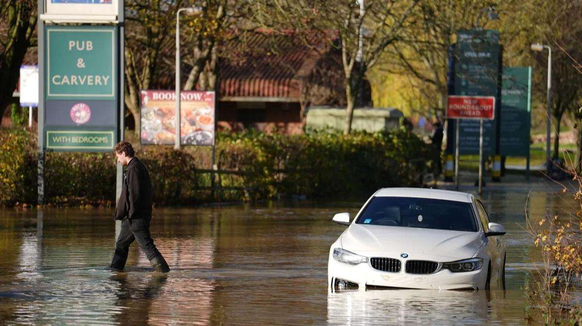
The yellow warning is in effect from 10:00 BST until 21:00 BST today, encompassing a broad swathe of England including the East, South East, South West, and critically, Greater London. The Met Office anticipates "torrential downpours in a few places, with as much as 25-35 mm of rain falling within an hour and perhaps 60 mm within two hours." Frequent lightning and hail are also identified as additional hazards.
Motorists are urged to exercise extreme caution, as "spray and sudden flooding could lead to difficult driving conditions and some road closures." Commuters are also advised to prepare for potential delays and cancellations to train and bus services where flooding or lightning strikes occur. While no major road closures have been reported specifically due to the current weather as of 10:45 AM BST, localized issues are highly probable as the day progresses. The Environment Agency has stated that "surface water flooding impacts from heavy, thundery showers are possible but not expected," though localized flooding remains a risk.
The possibility of power cuts has also been highlighted by the Met Office, with a "slight chance that power cuts could occur and other services to some homes and businesses could be lost." Residents are encouraged to be prepared with essential items like torches and mobile phone power packs. While no widespread power outages have been reported yet, local disruptions are a concern given the intensity of the forecast.
This sudden turn in the weather marks a stark contrast to the prolonged hot spell, reminding residents of the unpredictable nature of British summers. Temperatures, while still feeling warm and humid, are expected to be cooler than recent nights, particularly outside the immediate Southeast.
Looking ahead, the Met Office forecast suggests that while thunderstorms in the south are expected to ease by Thursday night, leaving largely dry and fine conditions, there remains a risk of heavy showers across eastern England on Friday. The weekend outlook for Saturday and Sunday generally appears drier with some sunny spells, though conditions are expected to become unseasonably windy with further heavy rain and showers on Monday.
Authorities advise those in affected areas to monitor local news and weather updates, prepare emergency flood kits if their properties are at risk, and secure any movable outdoor objects before gusty winds arrive.


.jpg)